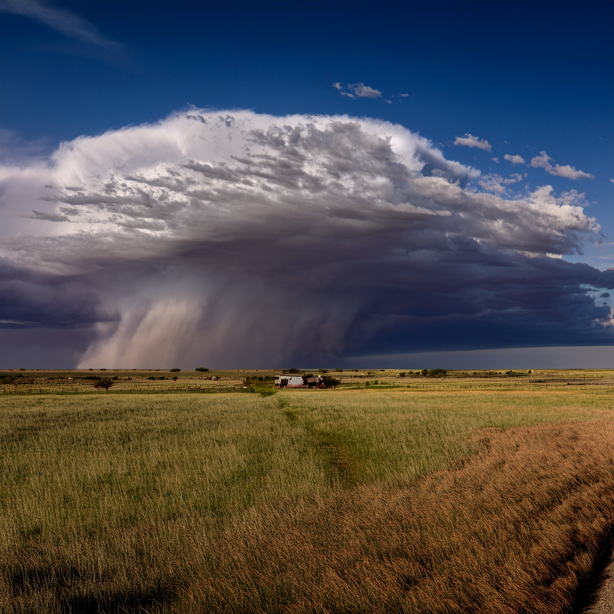
North and west of the region, the atmosphere carries just enough instability today to spark a few very isolated showers and thunderstorms. These will be brief, scattered, and quick to fade after sunset, but any storm that does form could deliver a burst of gusty wind, a flash of lightning, and a short-lived downpour. Even with those small storm chances, the broader concern remains fire danger. Relative humidity values dipping into the 25–35% range keep an elevated fire threat in place, and officials continue urging residents to respect local burn bans and secure anything capable of throwing sparks — from tow chains to discarded cigarettes.
Temperatures climb into the low to mid‑90s this afternoon, continuing a stretch of above‑average heat that will carry straight through the weekend. Summer still has its grip on the region, and for most communities, rain will be hard to come by. A weakening thunderstorm complex may drift across the Red River early Sunday morning and brush the northern counties, but outside of that slim possibility, the weekend looks dry.
Looking ahead, next week brings a notable shift. Forecast guidance continues to highlight a return to a more active pattern — one capable of delivering the widespread rainfall the region has been waiting for. A slow-moving upper-level low appears poised to settle in, and recent model trends suggest it may linger longer than earlier projections. That slowdown could enhance rainfall totals and raise the potential for localized flooding by late week. As always, forecasters will refine the details as confidence grows, and residents are encouraged to follow updates at weather.gov/fwd.
Farther south, the Austin and San Antonio region faces another hot, quiet day. Highs climb through the 90s, with a few spots along the I‑35 corridor flirting with triple digits. East and southeast winds at 5–10 mph offer little relief. The heat holds into early next week, and rain chances remain minimal until Tuesday, when moisture and instability begin to increase and temperatures finally ease back toward more typical late‑September levels.