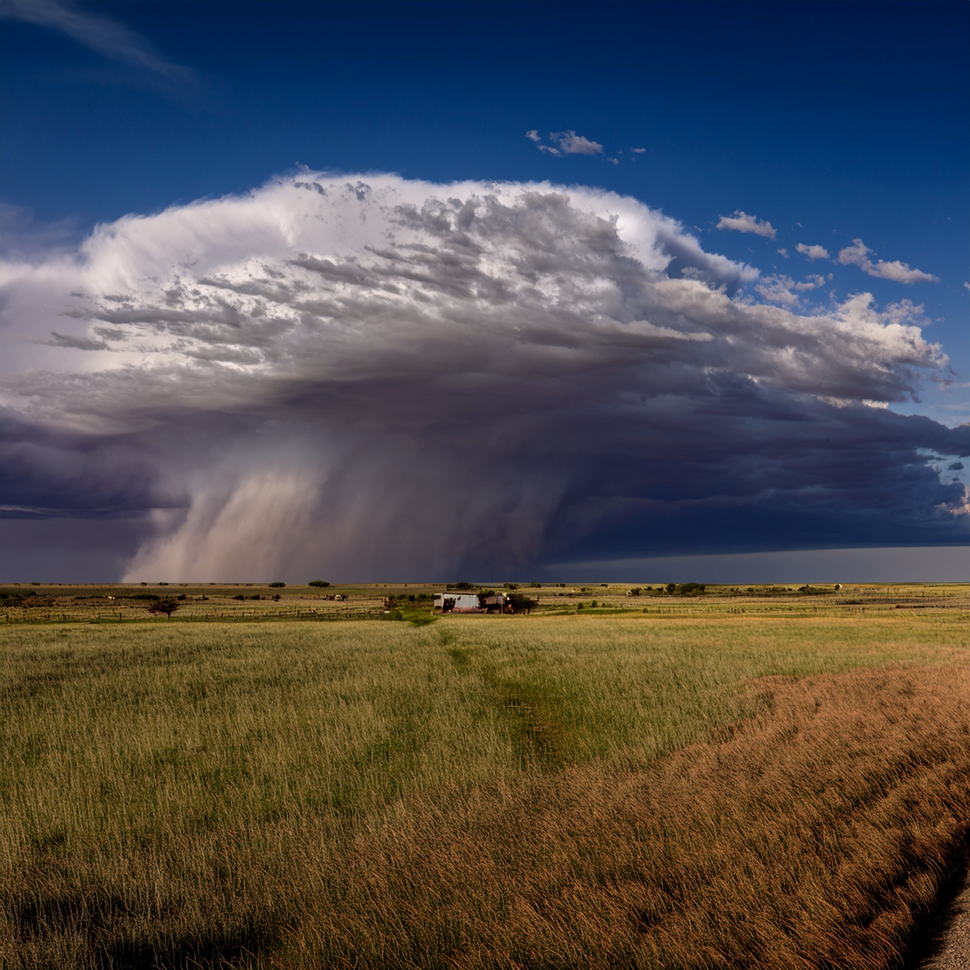
By early afternoon, the Big Country sky will settle into one of those late‑September moods—mostly quiet, mostly hot, but carrying just enough instability to keep forecasters glancing west. There’s only a very small chance of a stray shower or thunderstorm, the kind that pops up quickly and disappears just as fast. If one does form, it won’t be the rain that gets your attention—it’ll be the sudden punch of gusty wind and the crackle of frequent lightning.
For most of the region, though, the story is the heat. Temperatures will climb into the mid‑90s, with heat indices stretching from 94 to 101, a reminder that we’re still running 5–10 degrees above normal for this time of year. The air feels dry, the sky feels stubborn, and the weekend ahead looks to hold onto that pattern a little longer.
But change is waiting in the wings.
By Sunday, an unsettled wave begins to slide into the region, nudging rain chances upward and breaking the monotony of the dry spell. It’s not a dramatic shift—just the first sign that the atmosphere is preparing for something bigger.
And that “something” arrives next week.
Across the Southern Plains, a more active pattern is lining up, and confidence is growing that the season’s first true cold front will finally make its move. It’s the kind of front that doesn’t just cool things down—it brings beneficial rainfall, a few thunderstorms, and a welcome break from the relentless heat. It’s the kind of front people talk about at the grocery store, the kind that farmers watch closely, the kind that reminds everyone that autumn really is on the way.
Austin & San Antonio: Heat Holds On
Farther south, the story is similar. Austin and San Antonio brace for another hot day, with highs in the 90s and a few spots along the I‑35 corridor flirting with 100 degrees. A handful of isolated showers or storms may bubble up south of I‑10, but most folks will stay dry.
Tonight brings partly to mostly cloudy skies, light and variable winds across the eastern two‑thirds of the area, and a southeast flow near the Rio Grande. A few showers or an isolated storm could drift into the northern Hill Country. Overnight lows settle into the low to mid‑70s, warm but manageable.
The weekend keeps temperatures above average with only slim rain chances—but next week’s pattern promises relief. As the cold front approaches, rain chances rise and highs finally dip below 90 degrees for many communities.