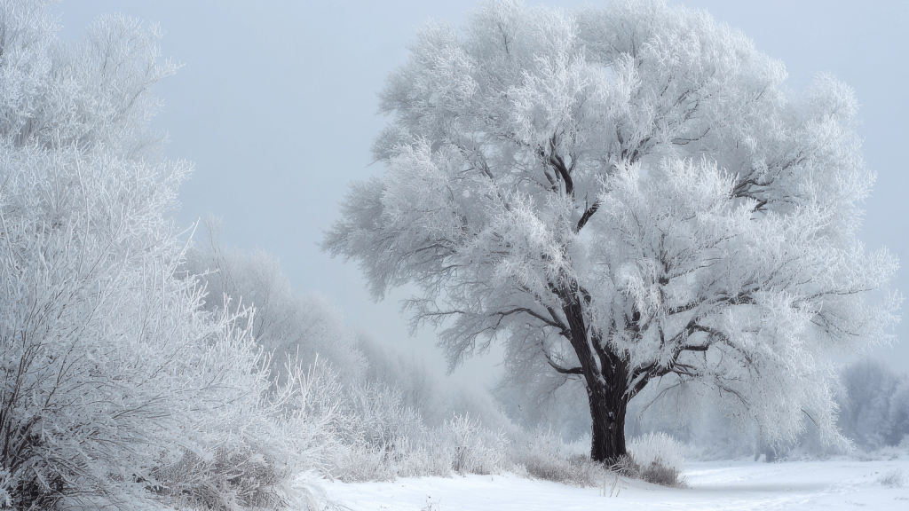
North and Central Texas are bracing for a powerful surge of Arctic air that will sweep into the region Friday evening, setting the stage for a high-impact winter storm through the weekend. What begins as a cold rain on Friday will steadily evolve into a dangerous mix of freezing rain, sleet, and eventually snow for portions of the area—an event that could disrupt travel, strain infrastructure, and test the region’s readiness for extreme cold.
The transition from rain to freezing rain and sleet will unfold from north to south Friday night into Saturday. For many communities, the first phase of the storm will be the most hazardous: a glaze of accumulating ice. Widespread totals of one-quarter to one-half inch of ice are expected, coating roads, trees, and power lines. As colder air deepens, sleet will take over, especially across North Texas. From Saturday into early Sunday, areas roughly along and north of I‑20 could see two to five inches of sleet, while Central Texas will see lighter amounts.
Travel impacts will begin Friday evening in North Texas and expand steadily southward on Saturday. By Saturday night, most of the region will be dealing with at least moderate disruptions, with slick roads and reduced mobility. Ice-laden trees and power lines may also lead to scattered power outages.
The wintry precipitation is only part of the story. An Extreme Cold Watch is in effect from Saturday evening through Monday morning, as temperatures plunge well below freezing and stay there for an extended stretch. Many areas west of I‑35 will remain below freezing into Monday, while the Red River counties and eastern North and Central Texas may not climb above freezing until Tuesday. Wind chills will add another layer of danger, dropping into the single digits and even below zero in some locations.
Residents are urged to complete all preparations before Friday. That includes protecting people, pets, pipes, and property. Stock up on at least three days’ worth of non‑perishable food, water, and medications. Bring pets indoors or ensure they have adequate warmth. Test heaters, smoke alarms, and carbon monoxide detectors. Cover outdoor pipes, seal drafty windows and doors, and know where your home’s water shut-off valve is located. For vehicles, fill the gas tank and assemble an emergency kit with blankets, snacks, water, jumper cables, a phone charger, and an ice scraper.
For those interested in weather safety and storm spotting, the first virtual SKYWARN class of the year will be held Thursday, January 22, from 6:30 to 8:30 PM. Pre‑registration is required, and additional in‑person and virtual class options are available through the National Weather Service.
Farther south, the Austin and San Antonio regions will also feel the full force of the Arctic front as it arrives late Friday night. Temperatures will tumble well below average, and an upper-level disturbance will help generate pockets of freezing rain and sleet—especially across the Edwards Plateau, Hill Country, and the I‑35 corridor. Even light icing could make roads slick and hazardous. With temperatures expected to remain below freezing through the weekend, icy spots may linger long after precipitation ends. Residents are encouraged to avoid unnecessary travel and take extra precautions if they must be on the roads.
Wind chills across South Central Texas could dip into the single digits and lower teens by Sunday morning, with a few locations briefly dropping below zero. As the cold deepens, it becomes especially important to check on vulnerable neighbors, including newborns, older adults, those with chronic illnesses, outdoor workers, and unhoused individuals. Ensuring access to warm shelter, layered clothing, and hot meals can be lifesaving.
Today offers a brief and deceptive calm, with dry and mild conditions and highs in the upper 60s to mid 70s. Morning clouds will give way to afternoon clearing. But the mild stretch ends abruptly Friday as the Arctic front arrives, sending temperatures crashing into the upper 20s to near 40 on Saturday and into the teens by Sunday morning. Rain Friday night will shift to freezing rain and sleet late Saturday into early Sunday, though the exact timing and placement of precipitation types may still shift as new data arrives.
As this powerful winter storm approaches, staying informed is essential. Monitor the latest forecasts, adjust plans as needed, and complete preparations now—before the cold and ice settle in.
Stay tuned to KNCT for hourly weather updates, and visit myKNCT.com for on‑demand reports throughout the weekend.


Leave a comment