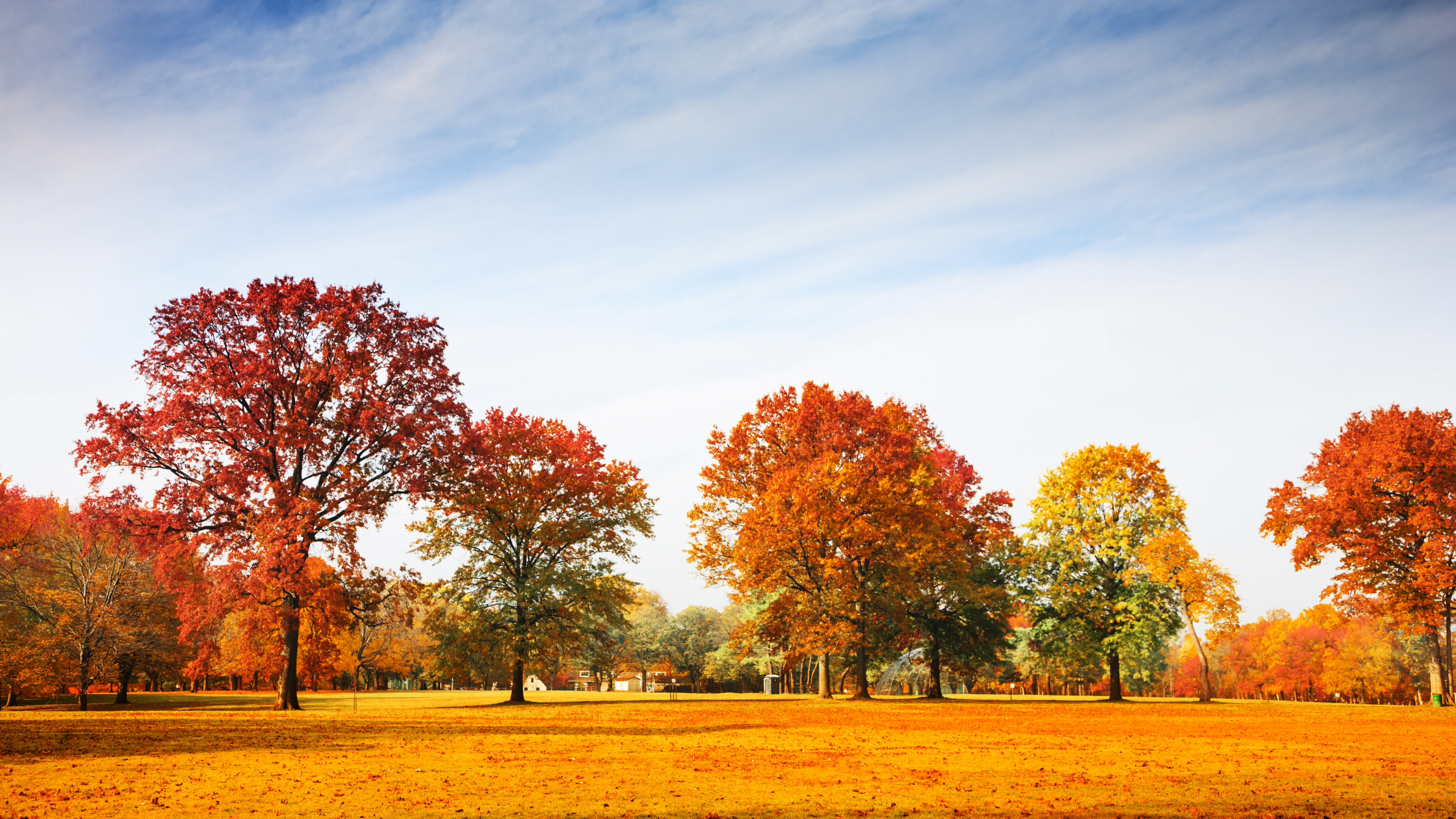
Cooler air has settled across Central Texas this weekend, bringing a crisp start to mid‑October. Highs will stay in the 60s and low 70s, with overnight lows dipping into the 40s and 50s — and even the upper 30s in some Hill Country valleys.
By midweek, a steady warming trend takes hold. Temperatures will climb into the 80s, reaching the mid‑ to upper 80s by late week under mostly sunny skies. Light southeast winds will prevail, keeping conditions pleasant and dry through the next seven days.
Across Austin and San Antonio, today’s highs range from the upper 50s to lower 70s, marking a brief cool spell before the gradual warm‑up begins.
Nationally, the Weather Prediction Center notes a broad stretch of below‑average temperatures from the Plains to the East, with frost and freeze warnings in effect. A developing coastal low near the Carolinas may bring heavy rain and beach erosion to the Mid‑Atlantic early next week, while California faces elevated fire‑weather conditions under strong Santa Ana winds.
High pressure building behind the cold front will keep Central Texas dry and comfortable — a welcome pause before autumn warmth returns.