
Central Texas is enjoying a rare September cooldown, with below-average temperatures expected to linger through the weekend. Highs will hover in the low 80s, offering a refreshing break from the usual late-summer heat. But don’t let the mild air fool you—there’s still some weather to watch.
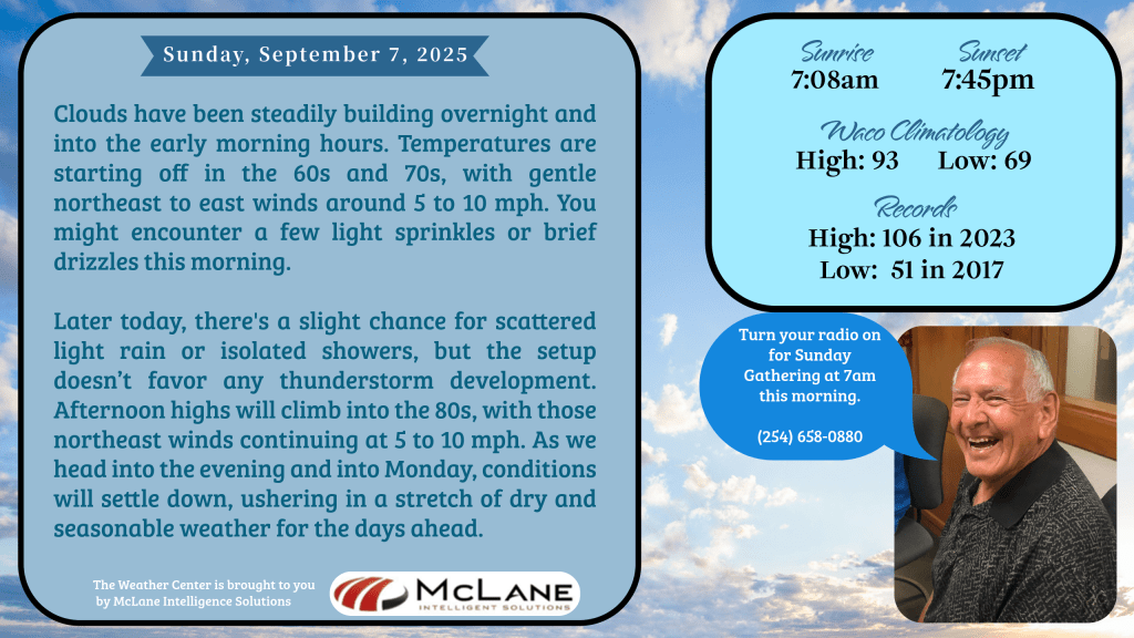
A weak disturbance is stirring up a chance of isolated rain showers across the region. While severe weather isn’t expected, a rumble of thunder or two may roll through. KNCT Meteorologist Bill Hecke noted early this morning that clouds have been steadily building overnight, with temperatures starting in the 60s and 70s and light northeast winds. A few sprinkles or brief drizzles may greet early risers, but the afternoon should remain mostly calm.
In the Austin and San Antonio areas, however, conditions are more active. Scattered showers and thunderstorms are forecast through this evening, with locally heavy rainfall potentially causing flooding. Thanks to the cloud cover and rain, temperatures in these areas will run 5 to 11 degrees below the seasonal average for September 7.
South-Central Texas is also under the influence of persistent tropical moisture. The Rio Grande Plains, Edwards Plateau, and western Hill Country are facing the highest chances for rain, with a Level 1 out of 4 risk for excessive rainfall. Flash flooding is a concern, especially in western zones, where 2 to 4 inches of rain could fall in localized pockets.
Looking ahead, rain chances will linger out west into Monday before high pressure builds in, sweeping away the moisture and ushering in a stretch of dry, sunny days. Temperatures will rebound to near or slightly above normal by midweek, bringing back the warmth Central Texans know well. While most areas will dry out, isolated showers may pop up later in the week near the Coastal Plains and Southern Rio Grande Plains.
Nationally, the Weather Prediction Center reports continued rainfall along the East and Gulf Coasts, frost advisories in the Upper Midwest, and air quality alerts in the Northwest due to wildfire smoke. An upper-level low over the Great Lakes is producing light rain, while moisture from the western Gulf is fueling showers and storms across the Plains and into the Upper Midwest.
As always, KNCT-FM will keep you informed and connected, rain or shine.