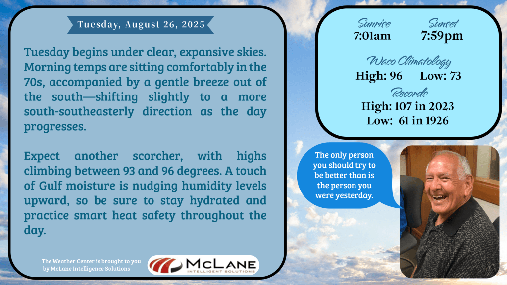
As Tuesday dawns across Central Texas, the skies are wide open and the air carries a gentle southern breeze—setting the stage for another sweltering day. KNCT meteorologist Bill Hecke opened his morning forecast noting temperatures in the 70s and highs expected to soar between 93 and 96 degrees. With Gulf moisture creeping in, humidity levels are on the rise, prompting a timely reminder to stay hydrated and practice heat safety.
But change is in the air.
A weak frontal boundary has nudged into the region, bringing increased cloud cover and a modest chance of rain—mainly north of I-20. This boundary is expected to stall just south of the Metroplex, potentially sparking an isolated storm or two later this afternoon. While not a washout, it’s a subtle shift that hints at more dynamic weather ahead.
Looking toward late Thursday and Friday, a stronger front is set to sweep into North and Central Texas, ushering in higher rain chances and a noticeable drop in temperatures. Thursday will still sizzle, with highs in the upper 90s, but scattered showers and storms will help cool things down into the 80s as we head into the weekend.
Nationally, the Weather Prediction Center highlights a complex weather tapestry unfolding across the country. Flash flooding remains a concern in parts of the Intermountain West, while heavy rainfall is forecast from Colorado and New Mexico through Kansas, Oklahoma, and into the Mid-South. The Pacific Northwest continues to bake under a late-summer heat wave, with temperatures nearing 100°F and little relief overnight.
Meanwhile, east of the Rockies, cooler-than-average conditions are spreading across the Midwest, Appalachians, and the East Coast—bringing crisp mornings and record-challenging lows in the 40s and 50s. It’s a taste of early fall, arriving ahead of schedule.
As Central Texas balances between lingering heat and approaching rain, it’s a good time to stay alert and weather-wise. This week’s forecast proves that late August still has a few surprises—blending summer’s intensity with early hints of seasonal change. Keep it tuned to KNCT for the latest updates from the National Weather Service and meteorologist Bill Hecke.