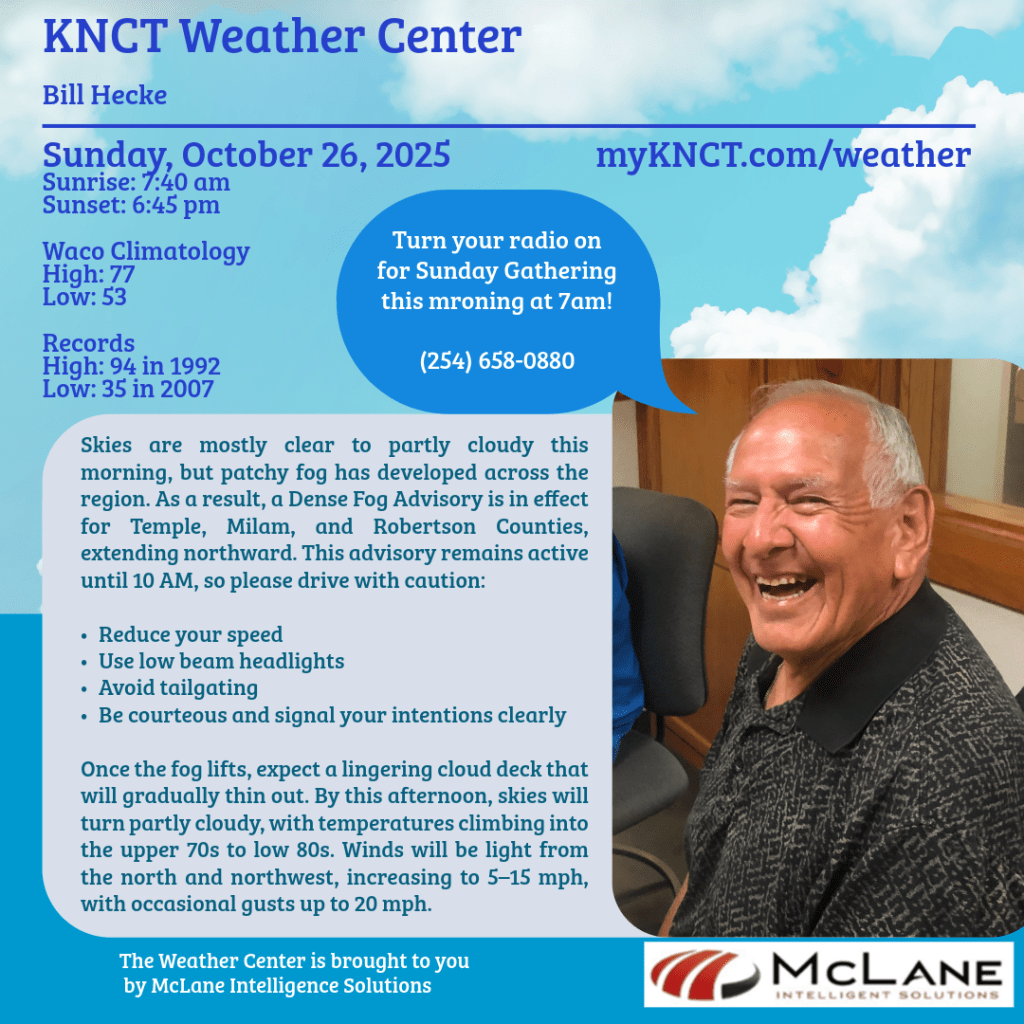
Drivers along and just east of the I-35 corridor—including the DFW Metroplex—are waking up to areas of dense fog this morning, with visibility dropping below a quarter mile in spots. A Dense Fog Advisory remains in effect through 10 AM, so motorists are urged to use low-beam headlights, maintain safe following distances, and allow extra time to reach their destinations.

Patchy fog is expected to redevelop overnight, with visibility occasionally falling to 1 mile or less. Sudden changes in visibility may occur, especially in low-lying areas, so continued caution is advised.
🌦️ Today’s Forecast Highlights:
- Isolated showers and storms are possible across the Northeast, with highs in the 70s.
- Overnight lows heading into Monday will dip into the 50s, with skies turning partly to mostly cloudy.
- Monday brings warm and mostly sunny conditions, with highs ranging from the 70s to 80s.
💨 Midweek Changes: A cold front arrives Tuesday, bringing gusty winds of 20–30 mph and a chance for a few showers or isolated storms, mainly across East Texas. Behind the front, Wednesday highs across North Texas will fall into the 60s, a few degrees below seasonal norms.
🌤️ Extended Outlook: Dry weather is expected from Wednesday through Saturday, with highs in the 60s to low 70s and overnight lows in the 40s. Halloween evening looks cool and comfortable, with temperatures in the 60s falling into the 50s, accompanied by light winds.
☀️ South-Central Texas Snapshot: In the Austin and San Antonio areas, dry and sunny conditions return today, with highs climbing from the mid-70s to near 90, well above average. The upcoming cold front will usher in the coolest air since April, with lows dipping into the 40s by midweek and highs settling into the 70s.
🌎 National Weather Service Update: A Pacific storm system continues to impact the Northwest, bringing rain to lower elevations and hazardous snow to mountain areas. Meanwhile, the Southeast faces scattered thunderstorms and flash flooding risks through Monday, especially along the central Gulf Coast and southern Appalachians.
Elsewhere, the Northeast and Mid-Atlantic remain cool under post-frontal high pressure, while the Southern tier—including Florida, Texas, and the Desert Southwest—experiences above-average warmth, with some record-challenging highs in far South Texas reaching the low to mid-90s.
🎶 On the Air at KNCT: Stay tuned for hourly weather updates and uplifting Sunday programming, including:
- Sunday Gathering with Rick Smith and Bill Hecke at 7am
- StarDate: Pole Stars at 8:20am
- Music and the Spoken Word: Fear Not at 9:20am
- EarthDate: Beneficial Leeches at 10:30am
- Science and the Sea: Fog Forest at 11:30am
- Big Band Sunday at 12pm
- Voice of Texas Veterans with Julia Conner
- Swingin’ Down the Lane, Episode 2252 with David Miller


